
If you ask me which trail in Kananaskis Country offers the absolute best value for your effort, my answer will always be Ptarmigan Cirque Interpretive Trail.
At just about 4 kilometers with a gentle 210-meter elevation gain, you can finish the whole loop in under two hours. Yet, it rewards you with sweeping alpine cirques and panoramic snow-capped mountain views , that usually require a grueling all-day trek. Wrapped in a fresh blanket of snow, we found ourselves on one of Kananaskis’s easiest yet most breathtaking trails.
- Date: October 12, 2026 (Thanksgiving Long Weekend)
- Location: Peter Lougheed Provincial Park, Kananaskis Country, Alberta
- Distance: Approx. 3.7 km loop
- Elevation Gain: Approx. 210 meters
Every year, we come to Cochrane or Canmore to spend one to two months here. This time, the timing lined up perfectly with the Thanksgiving long weekend: it snowed all day Sunday, and by Monday morning, the skies cleared up, though it was still a chilly minus two degrees.
We didn’t head out until close to noon, aiming for a relaxed, easy short hike on the Ptarmigan Cirque Trail. Having just missed the peak of the golden larches from a week or two prior, we figured we’d go chase some pristine snow instead!
Living on the western edge of Cochrane in our Airbnb, we hop straight onto Highway 1A, which saves us a ton of time heading towards Canmore and into the mountains compared to starting from Calgary. Highway 1A merges into Highway 1 heading west toward Banff, and then you catch Highway 40 south. There’re two gas stations right near the turnoff (one indigenous-owned with a casino next door) that usually has the cheapest gas around, so we always top up there.
Kananaskis Visitor Information Center
To park in Kananaskis Country, you need a Kananaskis Conservation Pass. You can grab a day pass or an annual pass. The staff simply registered our license plate on the spot, taking just a couple of minutes – no physical cards or window stickers to worry about. Everything is tied right to your vehicle in the system.
It’s always a good idea to swing by the Visitor Information Center to check trail conditions – closures, icy patches, or recent bear activity – since online updates aren’t always timely.
Continue driving south a little longer, you’ll pass through Kananaskis Village and the Nakiska alpine ski resort. In winter, we once went cross-country skiing at Ribbon Creek nearby. The trails are extensive and the scenery is beautiful. With the Kananaskis Conservation Pass, cross-country skiing is free!
Heading Up to Highwood Pass
We continued south along Highway 40 (Kananaskis Trail). We’ve driven this road countless times, but every single time, it leaves us in awe. The highway winds through the valley, with snow-dusted mountain walls pressing in and pulling back as if they were breathing. Sunlight poured through gaps in the ridges, making the asphalt gleam.
The higher we climbed, the more pronounced the snow became. First just a dusting on the shaded slopes, then large swaths of white, until finally, the grass and shrubs on both sides of the road were completely wrapped in silver. We were driving straight toward Highwood Pass – the highest paved highway pass in Canada, sitting at roughly 2,200 meters of elevation.
Trailhead: Through the Forest and Into the Snow
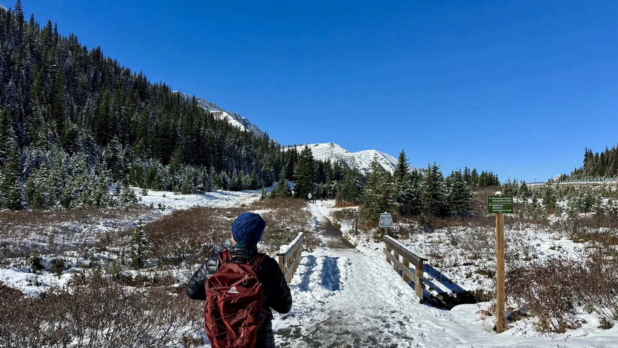
The trailhead for the Ptarmigan Cirque Interpretive Trail sits right beside the parking lot. A sign reads “Highwood Meadows to Ptarmigan Cirque” alongside a simple map. We started out along the Highwood Meadows Trail for a short stretch of about 0.4 kilometers, cutting across a meadow and curving back toward the highway. The meadow wore a thin coat of snow, though pale, dormant grass stems still peeked through underneath.
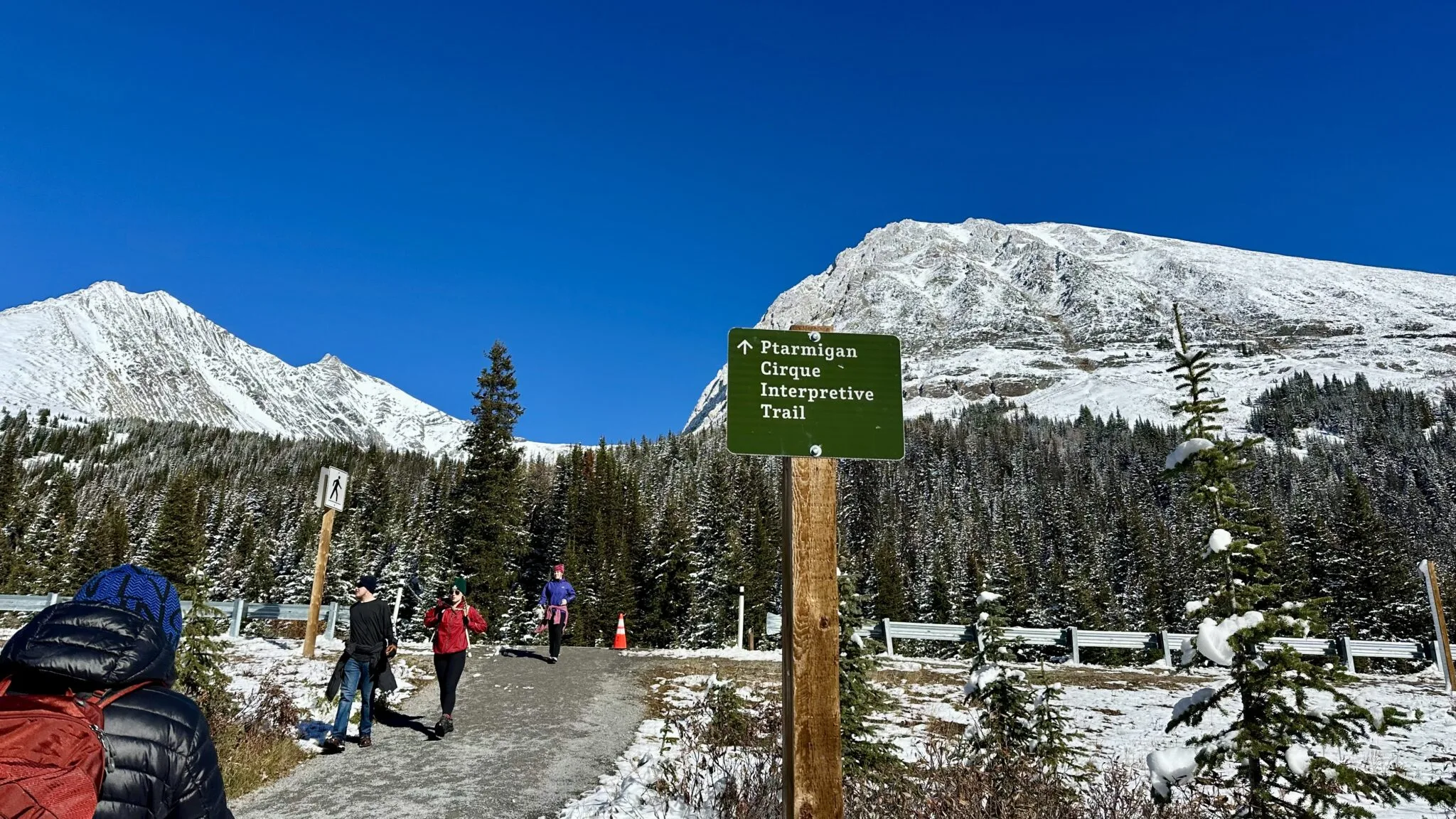
We took a right here, crossing Highway 40. The moment we stepped across the road, the ground beneath our boots shifted from asphalt to dirt and gravel. The Ptarmigan Cirque hike had officially begun.
We plunged straight into a snowy stretch of woods. The trees grew densely, their interlocked branches dusted with white, letting sunlight filter through in dappled patterns of light and shadow across the snow. The air carried that crisp, lovely scent of pine needles mixed with damp snow. This was our very first snow hike of the winter season!
The snow accumulates more thickly in the forest, but the snow on the trail has already been packed down. In some places, gnarled and intertwined tree roots and rocks are exposed, and once covered with snow, they become especially slippery. I carefully stepped on the spots that looked the most stable. Tom, my husband led the way ahead, occasionally turning back to glance at me and make sure I could keep up.
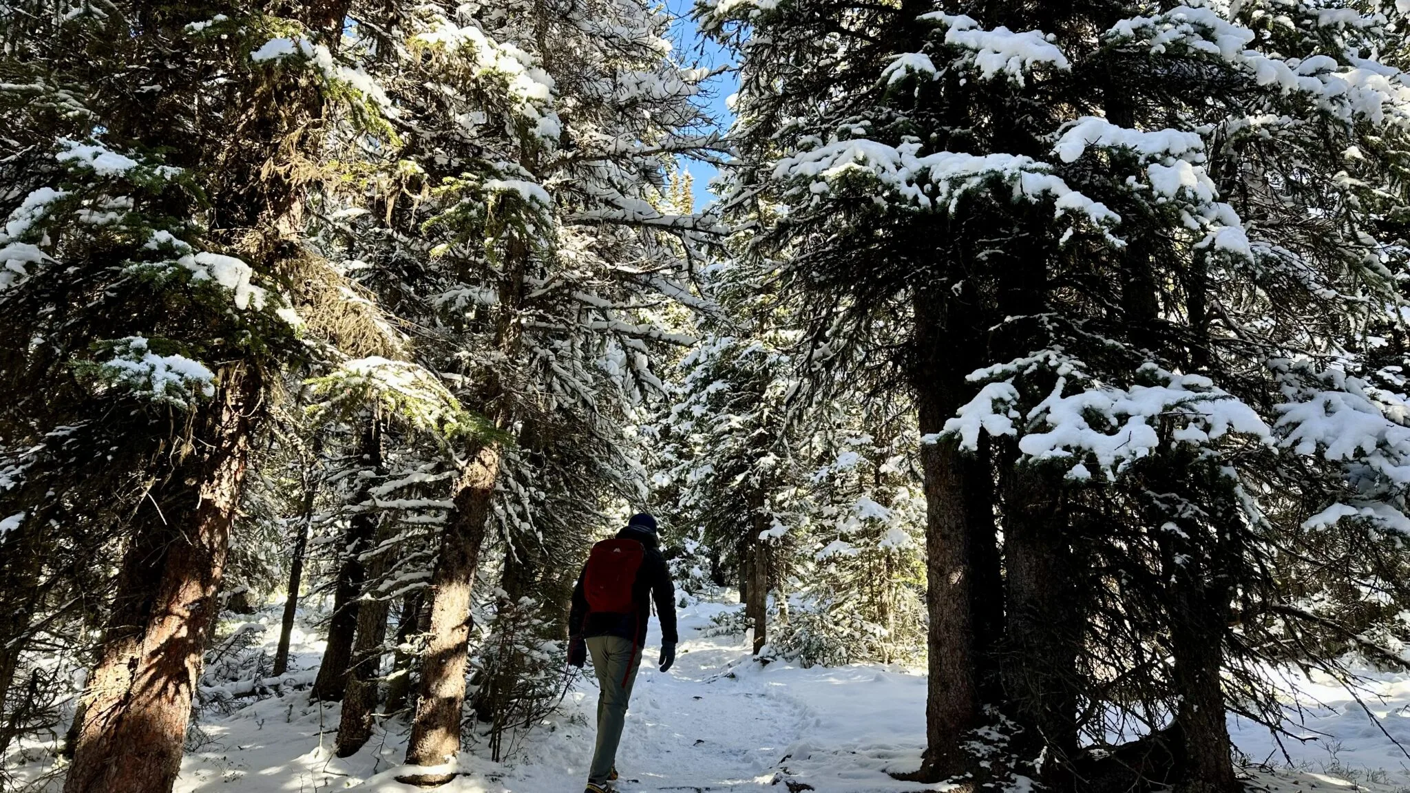
Although it’s a hike up a mountain, the slope isn’t too steep, and you can’t walk fast on the snow either, so it isn’t tiring. On this forest section, we ran into several groups of people heading downhill. There’s almost no view in the forest, and occasionally you can catch a glimpse of a corner of the distant peaks through gaps in the trees.
Viewpoint: First Glimpse of the Valley
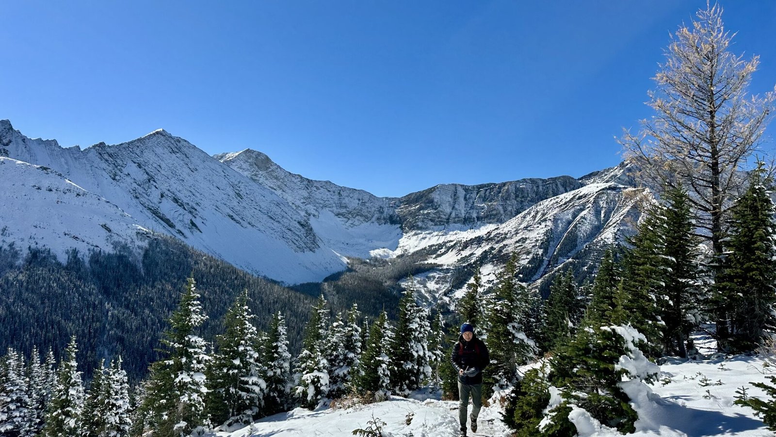
After climbing in the forest for ten minutes, the trees began to thin out. Ptarmigan Cirque trail reached an open edge – a natural viewpoint. Looking out from here, the view suddenly opened up.
Little Arethusa stands directly ahead, its form outlined clearly by fresh snow, the dark rock walls forming a strong contrast with the white snow. To the right is Highwood Ridge, its ridgeline undulating like waves, stretching all the way to the end of the view. In the valley, the larches have already lost their needles; we only saw a few stubbornly holding onto sparse needles, trying to dot a few touches of warm color into the vast whiteness covering the mountains.
Entering the Loop: Up to the Alpine Meadow
After leaving the viewpoint, the hiking trail once again dove into the forest, and very soon we reached the start of the Ptarmigan Cirque loop. A sign read “One Way Do Not Enter,” so everyone had to walk this loop clockwise.
From here, the trail continued to climb, but the slope was gentler than before. The trees became shorter and sparser – this is the typical treeline transition zone, where trees are suppressed by the harsh alpine environment, growing short and twisted, like bonsai. Farther up, the trees disappeared completely.
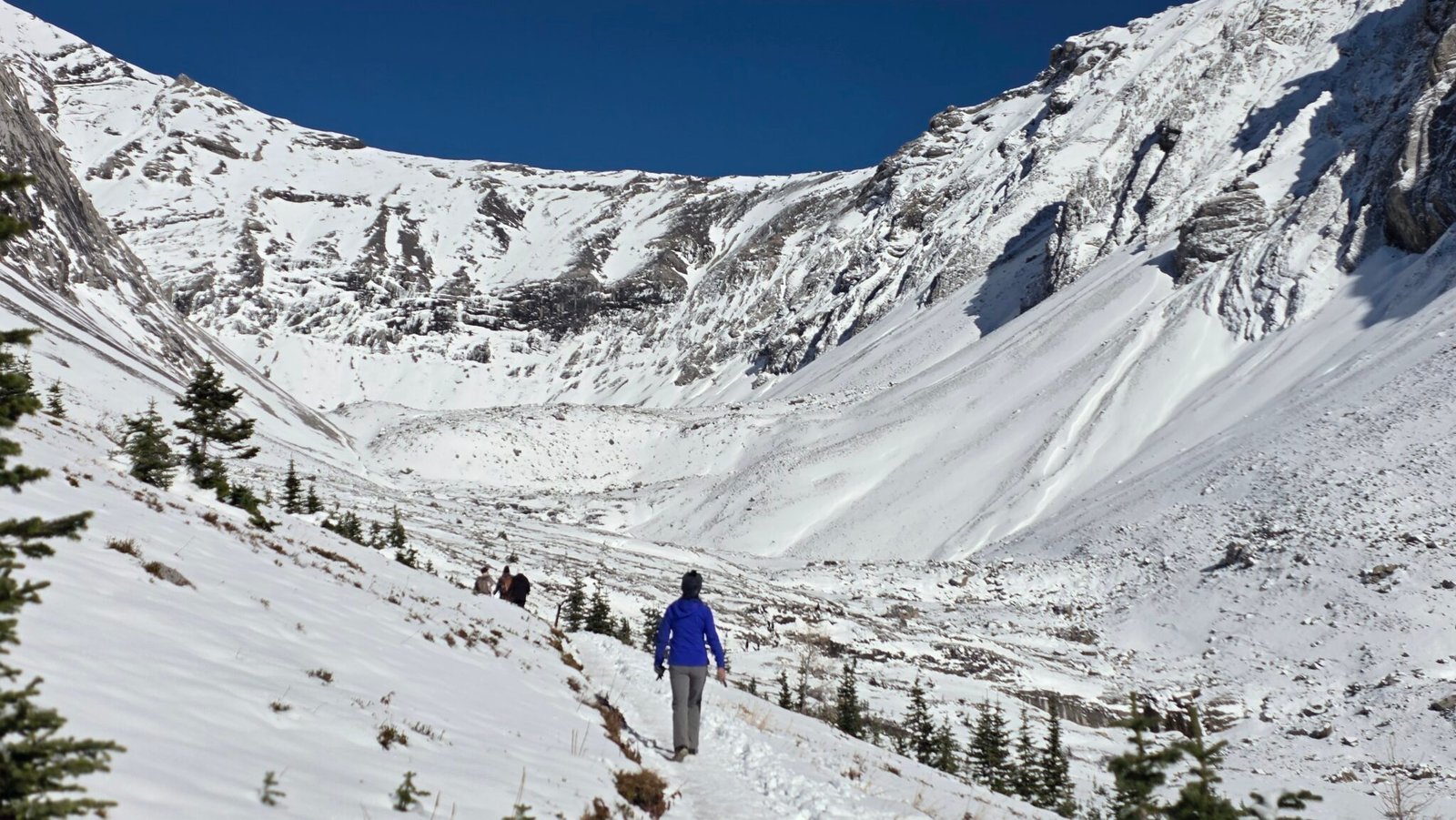
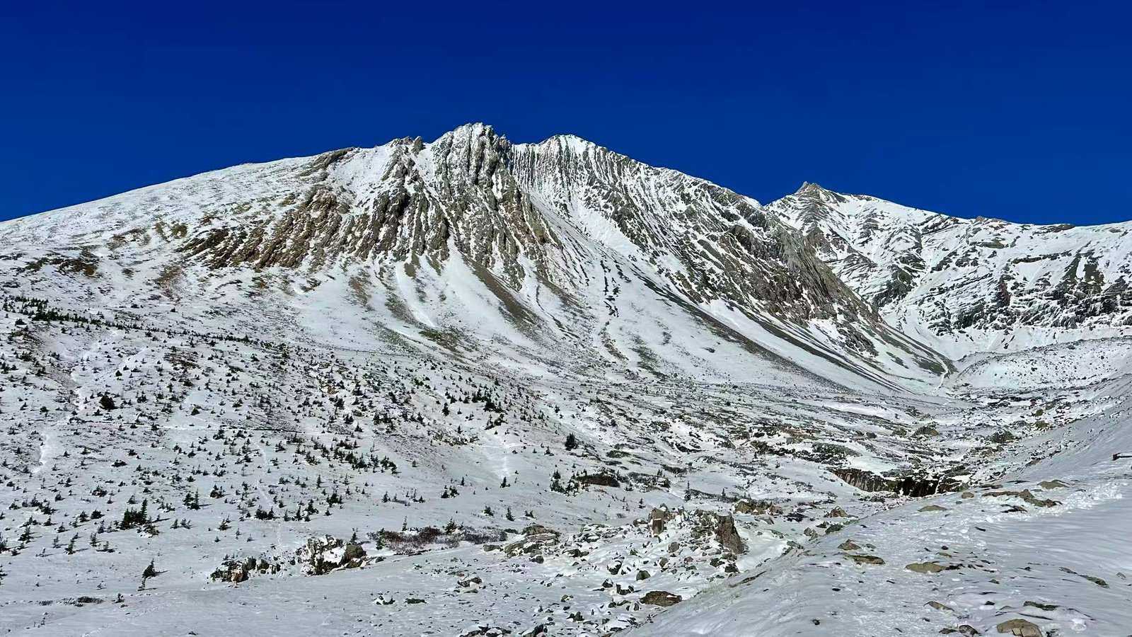
We had walked out of the treeline! Ahead was an open alpine meadow, embraced by peaks on all sides. This is Ptarmigan Cirque – a natural amphitheater formed by glacial erosion (cirque means “amphitheater” in French, and in geology it refers to a glacial cirque). The limestone cliffs of Mt. Rae stand like a huge wall directly ahead, with fresh snow clinging to the gray-white rock faces, glinting with fine specks of light in the sun.
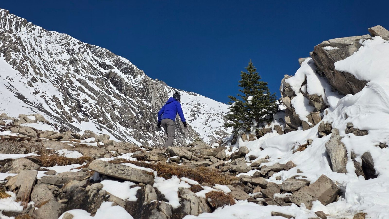
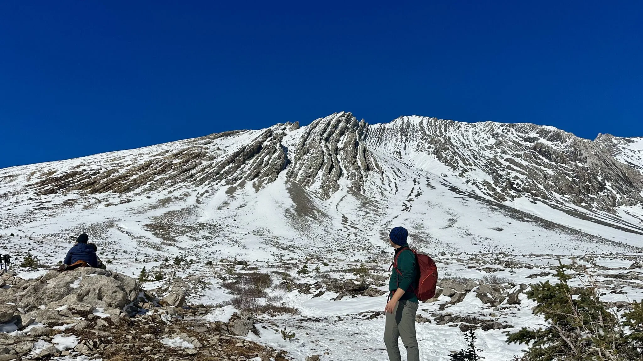
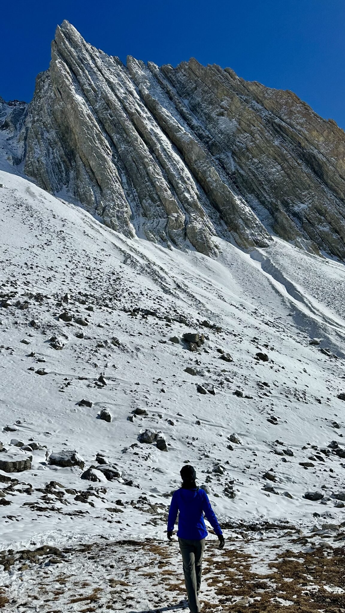
The meadow was covered with a layer of snow. Two weeks ago it had been a colorful world of larches and lichens, but now it was a world of snow. I saw a pika hopping among the cracks in the rocks. Some people were resting and eating lunch here – had the pika come out to food?
East side of the loop: Panoramic Views
From the highest point, Ptarmigan Cirque trail turned right, crossed a small area of loose rocks, and descended gently along the edge of the meadow.
Standing on the east side of the cirque, there is an unobstructed panoramic view. On the left is Mount Tyrwhitt, facing the cirque from across the highway; directly ahead is Pocaterra Ridge, its ridgeline drawing a beautiful arc under the blue sky, extending southward; farther in the distance is Pocaterra Cirque on the other side of Highwood Pass, also covered in white snow.
It is also here that you can truly understand why Ptarmigan Cirque trail is called one of the best value hikes in Kananaskis Country.
The reason is actually very simple: the trailhead is too high. Highwood Pass itself is the highest point reachable by paved road in Canada, and the car had already brought us above 2,200 meters in elevation. For many alpine trails, you first have to put your head down and climb 800 meters or even 1,000 meters before you can see decent scenery; but Ptarmigan Cirque only requires about another 200 meters of climbing to bring you into a true alpine cirque.
By the time you get here, you can basically identify all the peaks around the cirque: directly ahead is Mount Rae, that large limestone wall with vertical striations; the first one you see when entering clockwise is Mount Arethusa; when you finish the east side of the loop and are about to descend, Little Arethusa only then emerges from beside the main peak; plus Mount Tyrwhitt, Pocaterra Ridge, and Pocaterra Cirque in front of you, and Highwood Ridge behind you – six peaks and ridges form a natural amphitheater.
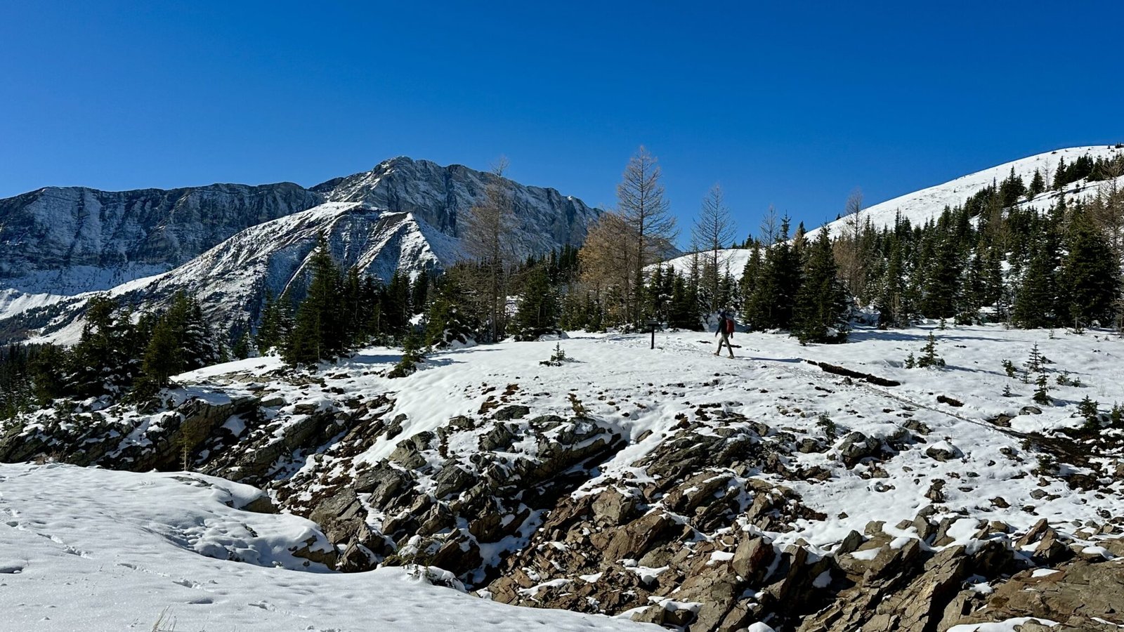
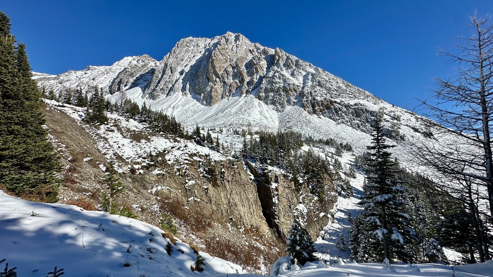
An investment of just over an hour, such a short distance and gentle climb, in exchange for this whole circle of scenery – if you come during larch season, at the end of September and the beginning of October, this should be the most popular golden larch viewing spot!
Descent: Back to the Forest
On the second half of the loop, Ptarmigan Cirque trail passes through a small rocky gorge, then a small larch forest, but the larch needles have almost all fallen now. Farther down, we entered the forest. Before long, we were back at the start of the loop. We followed the forest trail from earlier all the way down, back to the roadside. We left Ptarmigan Cirque trail, crossed Highway 40 again, returned to Highwood Meadows Trail, and finally got back to the parking lot.
Final Thoughts of Ptarmigan Cirque Hike
The whole trip of Ptarmigan Cirque hike took us about an hour and a half, including time spent lingering at the top to take photos and grab a snack. The distance was short and the climb manageable, yet the sense of fulfillment from this quick and easy hike rivaled any strenuous long-distance trek.
Ptarmigan Cirque is usually recommended for wildflowers in early summer or golden larches in late September. But I have to say – visiting on a sunny day right after a fresh snowstorm over the Thanksgiving long weekend is an equally unbeatable experience. The colors of autumn hadn’t entirely faded away, yet the pristine whites of winter had already taken over. Two seasons met right there in the mountains, and we were lucky enough to be right in the middle of it.
On our drive back to Cochrane, we even spotted mountain sheep on Highway 40 three separate times!
Where to Stay When Hiking in Kananaskis Country
The Ptarmigan Cirque Trail is in the Peter Lougheed Provincial Park area, and it’s within day-trip range from Calgary, Canmore, and Cochrane (which is where we live). From our home, it’s a 1-hour-20-minute drive to the Highwood Pass trailhead; from Canmore it’s even closer, just one hour; from Calgary it’s a bit farther, but still completely doable as a day trip. If you only hike this loop, you’ll still have plenty of time in the afternoon to drive home and make it back in time for Thanksgiving dinner.
However, if your trip is more than one day, or if you want to combine Kananaskis with Banff and Canmore, here’s where I’d recommend staying:
Cochrane: Cochrane is northwest of Calgary, quiet in location and convenient for daily life, and driving to the east side entrance of Kananaskis is actually smoother than starting from downtown Calgary. Accommodation prices are much more affordable than in Canmore. Our home is open as an Airbnb in the summer – welcome to stay!
Canmore: If you want to combine your trip with Banff National Park and Canmore, staying in Canmore (Affiliate Link) is the most convenient. It’s quieter than Banff and usually more budget-friendly, with no shortage of restaurants, cafes, supermarkets, and outdoor gear shops. From here to Highwood Pass, you head south along Highway 40 the whole way, and the scenery itself is part of the trip.
Ptarmigan Cirque Trail Information
- Parking: Highwood Meadows Day Use Area (Highway 40, Highwood Pass)
- Distance: Ptarmigan Cirque Interpretive Trail in my AllTrails record is 3.7 km, my husband’s record is 4.2 km
- Elevation gain: about 210 m
- Difficulty: Easy (icy and slippery, wear microspikes and bring trekking poles)
- Time: 1.5 – 2 hours
- Seasonal note: Highway 40 is closed from December 1 to June 14, and vehicles cannot enter. So the Thanksgiving long weekend is one of the last chances to drive into Highwood Pass, and hike Ptarmigan Cirque!
- Pass: Parking in Kananaskis Country requires a Kananaskis Conservation Pass, available at the Visitor Information Center or on the official website, as either a day pass or an annual pass.
- Facilities: There are toilets and picnic tables at the trailhead parking lot.
- Bear country note: Kananaskis is bear territory, so please carry bear spray and know how to use it. Make noise while hiking to avoid surprising a bear.
- Gear suggestions: Non-slip hiking shoes or mountaineering boots, trekking poles (especially useful on the descent), warm layers, gloves, hat. In autumn and winter, bringing microspikes is recommended. Please refer to the complete hiking gear checklist.
- Pets: Dogs are allowed, but must be kept on leash at all times.
- No signal: There is no cellphone signal along south of Highway 40 and Ptarmigan Cirque trail, so it’s recommended to download offline maps at home.